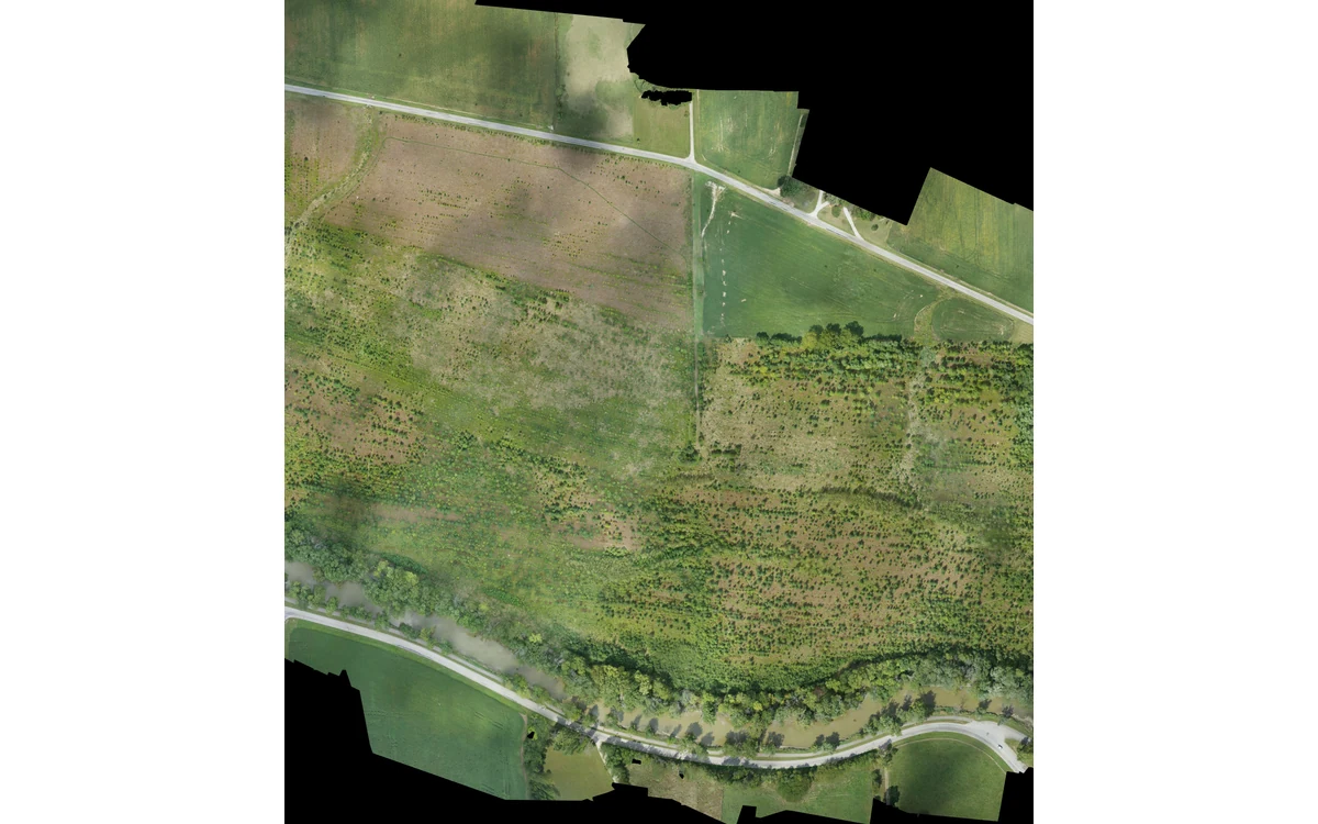
A raster that opens successfully is not necessarily a reproducible survey product. In a hypothetical large fixed-wing civil project, the receiving team has the mosaic and elevation files but cannot identify the calibration, reference definition or processing version behind them. The metadata handover should close those links rather than merely add a generic description of the site.
Acquisition and sensor configuration
USGS recommends recording equipment manufacturers, models, specifications and settings, together with acquisition patterns, image times, locations, flight descriptions and weather. It suggests keeping explanatory README information with the raw data so others can interpret the collection. Those recommendations provide a useful starting point for an auditable handover. [6]
For the hypothetical fixed-wing project, the acquisition record would link each sortie to the actual payload configuration. Camera, lens and accessory identities would be distinguished from the aircraft identifier. A remounting, firmware or settings change would have its own record instead of disappearing under one project-wide equipment label.
Dates would have explicit meanings. Acquisition, calibration, processing and delivery dates would not be conflated, and a copied file’s filesystem timestamp would not be presented as the capture time. Time conventions would be stated wherever they are needed to connect records.
Reference systems and calibration
USGS recommends carrying geometric and radiometric calibration parameters and documented processes into metadata. Its scene-level examples include map projection, sensors, band configuration, viewing geometry and radiometric information. Those records help later users decide whether a product is suitable for another analysis. [6]
The example delivery would state the horizontal and vertical reference definitions, units and applicable transformation history. Calibration records would identify the configuration and observation set they represent. If the producer relies on supplied calibration metadata, that dependence would be explicit; a missing coefficient would not be reconstructed from a generic sensor description.
The RedEdge-MX/DLS 2 guide provides a concrete model-specific example: light and sun-angle information are recorded in TIFF metadata, and supplied navigation information can affect image metadata. That makes preserving embedded metadata part of preserving the acquisition record for that documented workflow, not a guarantee about every sensor’s file structure. [20]
Processing history and quality results
The proposed handover would identify software and versions, major processing stages, input files, calibration choices, coordinate operations and product-construction settings. Manual edits, masks and rejected observations would be included where they affect interpretation. A concise machine-readable inventory could link these records while a README explains their meaning.
Quality results would identify the exact delivered version tested. A report on an earlier surface would not automatically validate a revised one. Internal fit statistics, independent reference comparisons and visual review findings would remain distinguishable so the next team knows what each result establishes.
USGS connects data verification with control and check-point evidence and warns against assigning accuracy solely from GSD. [6] The example handover would therefore include the basis and scope of its accuracy statement rather than only the raster cell size. Areas without adequate evidence would carry explicit limitations.
File inventory and provenance links
The receiving team would need a way to trace each derivative back to its inputs. The proposed inventory would list original acquisition names, retained locations, processing identifiers and delivered filenames. It would distinguish original observations from converted copies, presentation derivatives and modeled additions.
For this large fixed-wing project, the inventory would also preserve sortie boundaries and capture groups. Transfer-integrity checks would be recorded separately from measurement-quality checks: an intact copy can still contain unsuitable observations. Conversely, a useful rendering does not demonstrate that the raw evidence archive is complete.
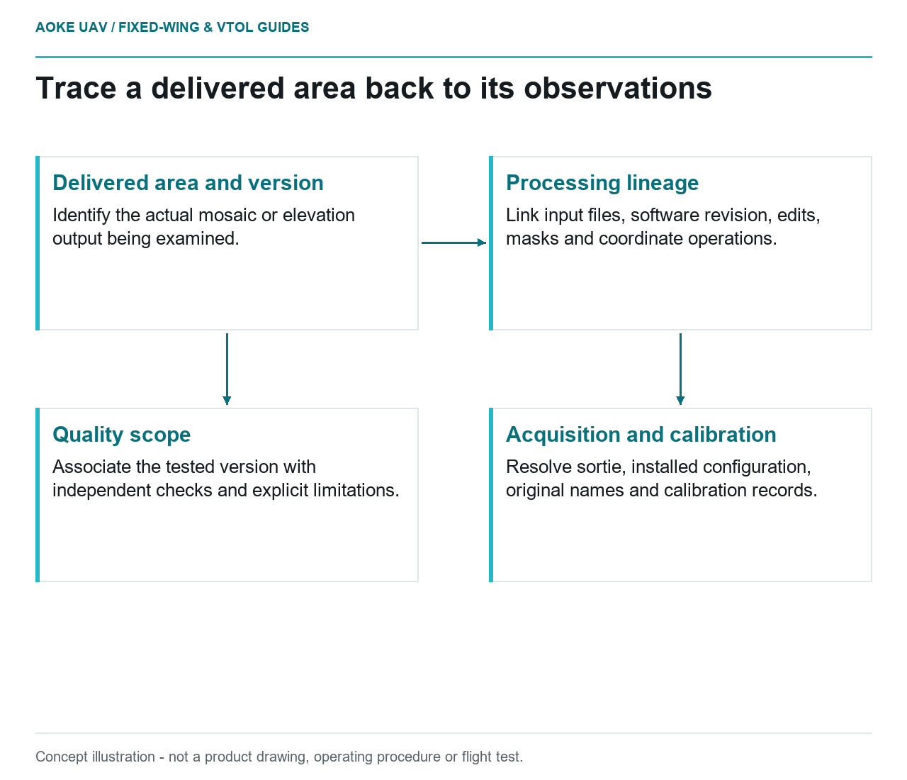
A practical acceptance exercise would ask the recipient to select one delivered area and follow its provenance to acquisition, calibration, processing and verification records. Missing links would become handover actions. This article claims no completed audit; it defines an evidence package that allows one. Metadata is useful when it explains the actual dataset, not when it simply fills a delivery checklist.
Related reading
- Coordinate Reference Systems at UAV Survey Handover
- An Evidence Package for Civil UAV Inspection Handover
Sources
- [6] Guidelines for Calibration of Uncrewed Aircraft Systems Imagery
- [20] MicaSense RedEdge-MX and DLS 2 Integration Guide
Visual summary
Concept illustration
Read diagram notes
- Delivered area and version: Identify the actual mosaic or elevation output being examined.
- Processing lineage: Link input files, software revision, edits, masks and coordinate operations.
- Acquisition and calibration: Resolve sortie, installed configuration, original names and calibration records.
- Quality scope: Associate the tested version with independent checks and explicit limitations.