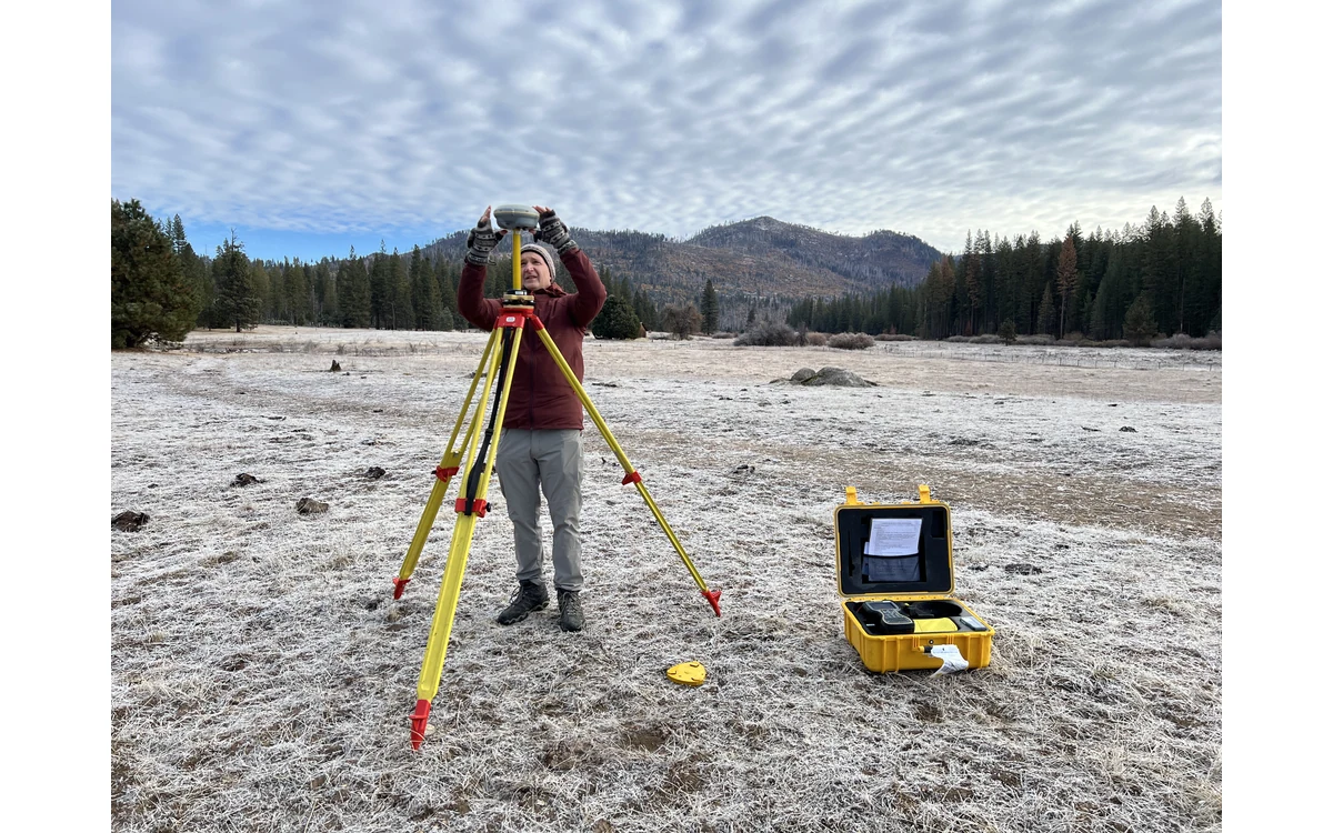
Repeat mapping should not turn an unresolved reference difference into a story about ground movement. Consider a hypothetical large fixed-wing civil survey that revisits a long infrastructure corridor after several years. Both campaigns use a familiar coordinate-system name, but their control came from different organizations. Before comparing surfaces or boundaries, the team should establish the reference-frame and time information behind those coordinates.
Reference frame and coordinate epoch
PROJ’s official geodetic transformation documentation describes time-dependent operations using a temporal component alongside spatial coordinates. Its example distinguishes coordinate timestamps from the reference epoch used by the transformation parameters. This establishes that time can be an input to a geodetic operation, not just a label on a survey folder. It does not establish which transformation this hypothetical corridor needs. [9]
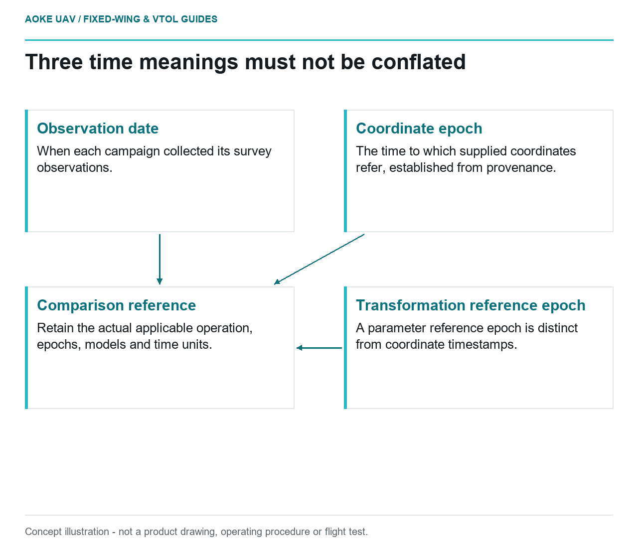
For the example review, keep three entries separate: when observations were collected, the epoch to which coordinates refer and any reference epoch associated with an applied transformation. Ask the control supplier to explain these fields using the authoritative frame documentation. Do not infer an epoch solely from a file creation date, and do not assume that every project needs a time-dependent correction.
Preserve control survey provenance
The USGS Lidar Base Specification illustrates reference specificity by naming a realization and epoch in its horizontal datum requirements. Its deliverables section also calls for processing-reference-frame confirmation and survey-point collection dates. These are examples from 3DEP, not a universal instruction to adopt that program’s reference or epoch. [3] [4]
In the hypothetical fixed-wing program, request the original control reports, point identifiers, observation dates, supplied coordinates and any subsequent adjustments. Preserve reference-station provenance and the processing report for each campaign. Ask whether an apparently unchanged point identifier actually retained the same published coordinates. A spreadsheet copied into a new mission folder should not become its own proof of reference continuity.
The review would also distinguish a monument’s identity from an assertion that its physical position is unchanged. If stability is uncertain, record that as a separate survey issue for the responsible specialist. Do not resolve reference uncertainty by assuming that the first campaign is correct or that all later differences belong to the asset.
Choose transformations across campaigns deliberately
PROJ documents transformation pipelines as sequences of elementary operations and shows a spatiotemporal example with explicit temporal unit conversion. The practical implication for this example is to preserve the actual operation, inputs and time units, not only the name of the software that performed it. The documentation’s worked parameters are not suitable defaults for another region or frame pair. [9]
Before comparing the two large fixed-wing datasets, have the project’s geodetic authority define the comparison reference and any required transformation. Retain model or grid identities, software revision, input epochs and output conventions. Check applicability to the actual location and reference realizations. Where no authoritative relationship has been established, do not manufacture a local shift and describe it as an official frame transformation.
Document unresolved temporal inconsistencies
The proposed acceptance record would pair each campaign with a reference summary and a list of unresolved fields. Have the receiving civil team confirm whether the available evidence supports a quantitative change analysis or only a more limited visual comparison. A map overlay can help identify questions, but agreement on a screen is not the reference documentation itself.
If the project uses stable reference observations for comparison, document how those observations were chosen and expressed in the agreed reference. Keep the reference review distinct from sensor calibration and surface classification review. Resolving one does not establish the others. The defensible fixed-wing change-detection handover states the comparison basis and remaining uncertainty before attributing differences to construction, settlement or erosion. That order protects the interpretation without claiming that a generic epoch correction solves every repeat-survey discrepancy.
Related reading
- Coordinate Reference Systems at UAV Survey Handover
- Registration Error in Repeat Inspection Datasets
Sources
- [9] Geodetic transformation
- [3] Lidar Base Specification: Data Processing and Handling Requirements
- [4] Lidar Base Specification: Deliverables
Visual summary
Concept illustration
Read diagram notes
- Observation date: When each campaign collected its survey observations.
- Coordinate epoch: The time to which supplied coordinates refer, established from provenance.
- Transformation reference epoch: A parameter reference epoch is distinct from coordinate timestamps.
- Comparison reference: Retain the actual applicable operation, epochs, models and time units.