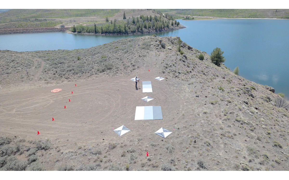
A sharp multispectral image can still be unsuitable for a pixel-by-pixel comparison. The immediate review question is not whether every band looks attractive, but whether corresponding samples describe the same physical feature. Consider a hypothetical large fixed-wing agricultural survey with separate optical channels and an index map showing bright outlines around field boundaries. This is an integration and review example, not an observed aircraft result.
Separate optical centers and timing
The RedEdge-MX integration guide documents multiple imagers and identifies their output band order. That is a model-specific example of why a multispectral capture should be treated as a group of identified observations rather than an anonymous color photograph. The guide also distinguishes automatic and externally commanded capture modes. It does not establish a universal registration tolerance or a timing characterization for another sensor. [20]
For the hypothetical fixed-wing installation, the review record would identify each channel, its calibration identity and the meaning of its timestamp. A shared filename stem would be a grouping aid, not evidence that all exposure centers and optical rays were identical. Before interpreting an offset as a software fault, the integration team would ask which timing and inter-camera geometry the actual sensor documentation supplies.
Band alignment and geometry
USGS describes geometric calibration in terms of camera interior orientation, distortion, exterior orientation and matching tie points. Its discussion emphasizes stable, well-distributed tie points and the dependence of calibration on acquisition geometry. These are reasons to examine the geometric evidence behind band alignment; they do not provide a ready-made alignment algorithm for every multispectral camera. [6]
In this example, the processor would retain both original bands and the registered outputs. The record would distinguish an initial channel-to-channel transformation from any later projection onto a terrain model. It would name the reference band, resampling operation and excluded image areas. A transformation that appears adequate on a flat reference patch would remain a hypothesis elsewhere until checked against the actual scene.
Edges that reveal misregistration
A proposed diagnostic is to compare the location of a stable road boundary, exposed soil corner or fixed target across bands. The reviewer would inspect several parts of the frame and several fixed-wing strips, rather than choosing one convenient central feature. Because different bands can show different radiometric contrast, a visible edge is a candidate correspondence, not automatically a common material boundary.
The review would preserve example crops with their original image identifiers and map locations. It would also separate a consistent channel offset from local disagreements associated with vegetation movement, weak texture or the terrain representation. If a boundary cannot be identified reliably in both bands, it should not silently become an alignment checkpoint. This procedure is editorial reasoning for the hypothetical dataset, not a validated sensor test.
Impact on derived indices and reporting
USGS treats radiometric and geometric calibration as separate requirements for quantitative imagery. It also cautions that ground sample distance does not directly establish geometric accuracy. Small output pixels therefore cannot certify either band registration or final map position. [6]
For the example index product, the analyst would examine whether suspicious boundary patterns persist when the contributing bands are viewed separately. An index that compares different physical patches at an edge would not answer the intended comparison. The appropriate report would describe the alignment method, checked features, spatial coverage of the checks and unresolved areas before any agronomic interpretation.
A useful handover would include raw band groups, calibration metadata, processing settings and representative evidence of alignment. The remaining decision is project-specific: whether the observed registration is adequate for the stated feature and analysis scale. A visually pleasing composite, or a successful export from the processing software, is not an acceptance criterion by itself.
Related reading
- Boresight Alignment and Fixed-Wing Sensor Mounts
- Payload Power Transients and Survey Sensor Integration
Sources
- [20] MicaSense RedEdge-MX and DLS 2 Integration Guide
- [6] Guidelines for Calibration of Uncrewed Aircraft Systems Imagery
Visual summary
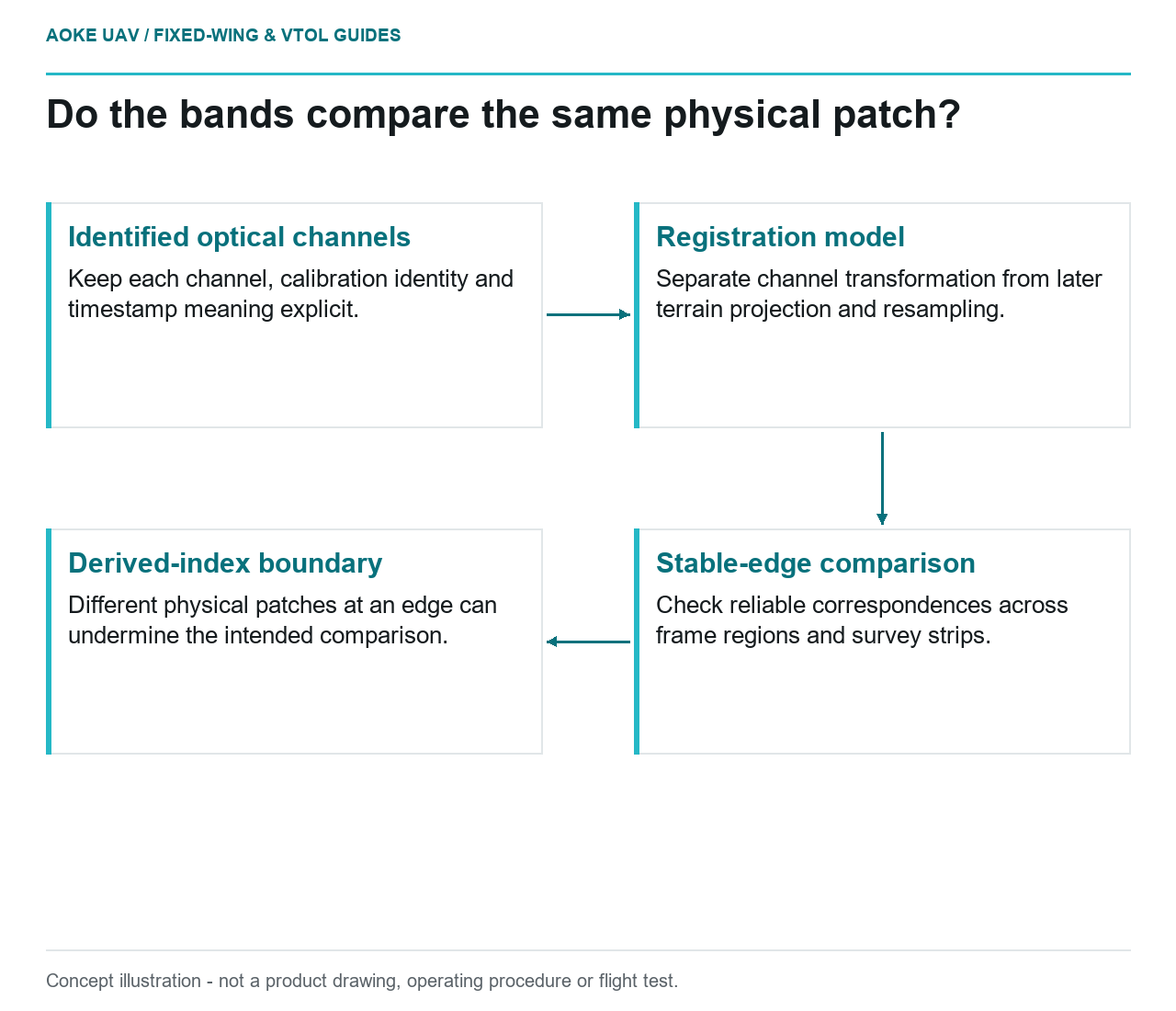
Concept illustration
Read diagram notes
- Identified optical channels: Keep each channel, calibration identity and timestamp meaning explicit.
- Registration model: Separate channel transformation from later terrain projection and resampling.
- Stable-edge comparison: Check reliable correspondences across frame regions and survey strips.
- Derived-index boundary: Different physical patches at an edge can undermine the intended comparison.