Concept illustration
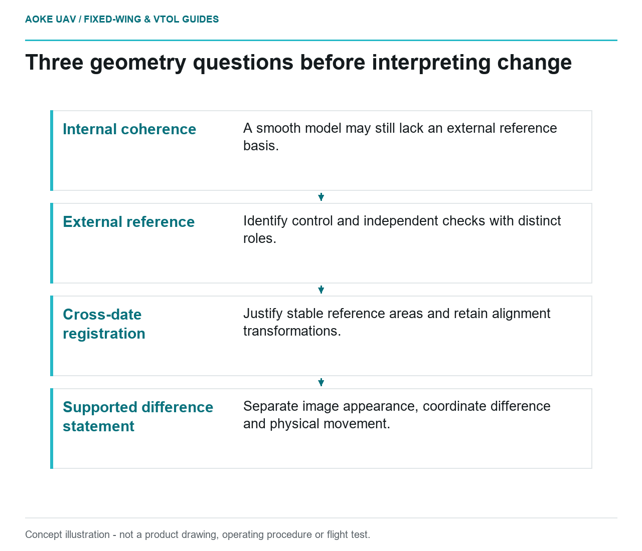
Read diagram notes
- Internal coherence: A smooth model may still lack an external reference basis.
- External reference: Identify control and independent checks with distinct roles.
- Cross-date registration: Justify stable reference areas and retain alignment transformations.
- Supported difference statement: Separate image appearance, coordinate difference and physical movement.
An alignment problem can enter before comparison
Suppose a hypothetical industrial estate is monitored by a large fixed-wing aircraft over several campaigns. A retaining-wall area appears displaced in the newest model, but nearby pavement also shifts. The review question is whether the datasets share a trustworthy reference relationship before any asset change is interpreted. This example describes an evidence investigation, not an GAUTEN observation or a finding of movement at a real site.
Begin with three distinct questions: Is each dataset internally coherent? Is each tied to an external reference with supporting checks? How were the dates aligned for the comparison? Record answers separately. A model can look smooth without the evidence needed to compare its coordinates with another delivery. A successful alignment operation also needs a documented basis beyond visual agreement.
Identify what anchored each dataset
USGS imagery guidance describes self-calibration as a joint estimation of camera interior parameters and exterior position and orientation. Ground control constrains the solution, and the guide emphasizes the distribution of tie points and control. These are imagery-geometry principles, not evidence that a particular industrial asset is stable. [1]
For this fixed-wing series, request original control records, camera configuration, reference-system definitions and transformations. Identify which observations entered model adjustment and which were held back for verification. Keep changes in those roles visible. Reusing a fitted point as though it were an independent confirmation would leave the reviewer without a genuine external test of the same adjustment.
The USGS 3DEP lidar specification explicitly distinguishes internal geometric precision from accuracy relative to surveyed ground control and specifies independent checkpoints in its program context. That distinction is useful here, but the specification’s lidar thresholds are not universal limits for fixed-wing photogrammetric inspection. [2]
Choose stable comparison evidence deliberately
In the hypothetical estate, the pavement is only a candidate reference surface until its history is checked. Ask whether resurfacing, excavation or a changed reference survey could affect the comparison. Explain why selected reference areas are expected to be unchanged, and retain excluded candidates with reasons. Do not designate a convenient surface stable merely because using it improves the fit.
Evaluate whether the candidate references represent the parts of the scene being compared. If all checks lie at one accessible entrance, avoid extending that result across the entire estate without supporting evidence. A map of reference locations can make such limitations more understandable than a single summary residual. Preserve the original checks as well as any revised alignment results.
For an illustrative sensitivity review, ask the survey team to compare outcomes from justified alternative reference selections. This is a proposed investigation, not a prescribed algorithm or a demonstrated validation. Its purpose is to show whether the apparent asset difference depends strongly on an alignment choice. Keep the method, inputs and interpretations together so another reviewer can reproduce the reasoning.
Report a supported detection decision
A cross-date change statement needs a project-specific uncertainty basis addressing both input measurements and their relationship. Do not choose a threshold because it produces an attractive change map or matches a sensor’s pixel size. USGS explicitly cautions that image ground sample distance is not a direct measure of positional accuracy. [1]
For the retaining-wall question, the deliverable should distinguish a visible image observation, a model-coordinate difference and an interpreted physical movement. If the external reference checks fail or remain unavailable, do not collapse those stages into a movement claim. Request the missing evidence and preserve the comparison as unresolved.
Retain acquisition and processing versions with the final disposition, including any alignment transformation and its justification. A later reviewer should be able to determine whether a revised map reflects new measurements, corrected geometry or a changed interpretation. That provenance lets fixed-wing monitoring contribute a useful time series without turning registration uncertainty into a diagnosis of asset deterioration.