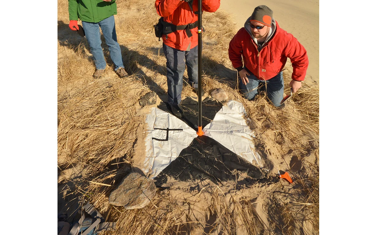
A precise-looking coordinate or volume can carry less evidence than its decimal places suggest. In a hypothetical large fixed-wing mapping report, a civil client asks how much confidence to place in the delivered measurements. The report must connect the claim to the tested product, reference quality and spatial scope. It should not manufacture a single uncertainty number from missing inputs.
Different sources of measurement error
USGS imagery guidance distinguishes radiometric and geometric calibration and links geometric quality to control points, tie points and acquisition geometry. It explicitly cautions that GSD does not directly determine accuracy. Sampling, calibration, reference evidence and final product checks therefore need separate descriptions rather than being compressed into the pixel-size statement. [6]
For the hypothetical fixed-wing report, the author would organize evidence by measurement chain. Navigation, camera calibration, reference-frame handling, reconstruction and product construction would each have an identified method or an explicit evidence gap. This is a reporting structure, not a claim that all contributors are known or statistically independent.
The analyst would distinguish a repeatability observation from an external accuracy assessment and a modeled estimate from an observed discrepancy. If the report combines quantities, the applicable method and assumptions would have to be stated. No combined error calculation is justified here because those project inputs have not been supplied.
Independent reference quality
The USGS LiDAR processing specification defines internal precision separately from surveyed-ground agreement and requires checkpoints independent of calibration control. It also distinguishes assessment of the point data from assessment of a derived DEM. These distinctions are part of its 3DEP framework, not a universal numeric acceptance limit for every UAV survey. [36]
The example reviewer would ask how the reference was measured, which frame and units it uses and where it is distributed. A checkpoint of unknown quality would not be treated as an exact truth merely because it appears in a survey table. Any shared dependence between calibration and checking would be disclosed.
For imagery, USGS likewise explains that check-point accuracy affects how well the data can be validated. The quality of the comparison evidence bounds what can reasonably be claimed from that comparison. [6] The report would retain that limitation instead of attributing all observed difference to the aerial product.
Spatial representation and exclusions
The proposed large fixed-wing review would map tested locations alongside the delivery area and relevant surface types. It would distinguish checked areas from areas supported mainly by extrapolation or interpolation. A favorable project summary would not silently certify an untested feature class or a region excluded from the assessment.
The USGS LiDAR deliverables guidance calls for anomaly descriptions, low-confidence references where used, geometric-quality analyses and methods behind the quality graphics. That illustrates why a useful uncertainty account includes spatial context and processing provenance, not only a statistic detached from the dataset. [37]
In this hypothetical report, unresolved systematic-looking patterns would remain visible. The analyst would not average them away without explanation or remove difficult observations solely to improve a summary. Any exclusion would state its reason and effect on the scope of the claim.
Meaningful precision in final reporting
The number of stored digits would be distinguished from demonstrated measurement quality. The proposed reporting decision would follow the applicable project method and the evidence available for each output. If no defensible confidence statement can be made for an area or quantity, the report would state the missing evidence rather than insert a plausible percentage.
USGS recommends documenting calibration parameters, processing methods and uncertainty information in metadata. [6] For the example project, the final package would link each claim to the tested product version, reference records, methods, spatial coverage and limitations. It would keep internal precision, independent accuracy and unresolved assumptions separately readable.
The result is not a universal uncertainty formula. It is an accountable explanation of what the large fixed-wing survey has demonstrated and what remains unknown, allowing the civil client to judge suitability without mistaking numerical formatting for measurement confidence.
Related reading
Sources
- [6] Guidelines for Calibration of Uncrewed Aircraft Systems Imagery
- [36] Lidar Base Specification: Data Processing and Handling Requirements
- [37] Lidar Base Specification: Deliverables
Visual summary
Concept illustration
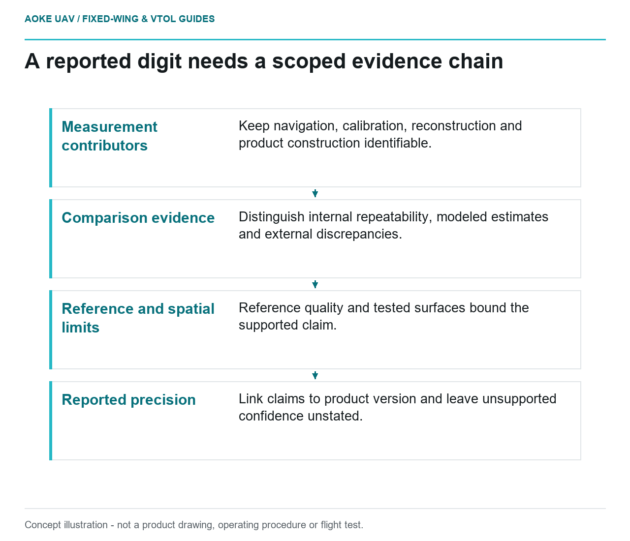
Read diagram notes
- Measurement contributors: Keep navigation, calibration, reconstruction and product construction identifiable.
- Comparison evidence: Distinguish internal repeatability, modeled estimates and external discrepancies.
- Reference and spatial limits: Reference quality and tested surfaces bound the supported claim.
- Reported precision: Link claims to product version and leave unsupported confidence unstated.