
Define the observable asset question
A corridor overview and a component inspection answer different questions. In this hypothetical civil integration scenario, an industrial owner considers a large fixed-wing aircraft for documenting access routes, exposed ground and the visible setting of a linear asset. The proposed deliverable is a searchable surface record, not a statement that every component is sound. Start by asking what the reviewer must actually see and what decision that observation would inform.
Write a feature register before requesting imagery: feature description, expected orientation, required view and the consequence of an unavailable view. For example, the owner might request an overview of disturbed ground beside the route while reserving connection condition for another method. These are proposed scoping distinctions, not universal inspection requirements. USGS calibration guidance supports assessing data fitness through calibration and metadata rather than assuming that imagery is adequate simply because it is detailed. [1]
Standoff geometry and feature visibility
For this large fixed-wing assignment, evaluate the intended observation from the feasible acquisition geometry rather than beginning with a promise of close inspection. Ask whether the camera can look toward the relevant surface, whether another object hides it and whether the feature remains distinguishable in original frames. A clear view of a corridor floor does not establish a view of the rear of an elevated attachment. Treat that difference as an evidence boundary in the scope.
Keep sampling and measurement claims separate. USGS explains that ground control and tie-point quality contribute to geometric accuracy independently of nominal ground sample distance. A small pixel footprint is therefore not a measurement guarantee. [1] In the proposed acceptance exercise, reviewers should inspect representative frames of the requested feature class, including difficult orientations, before agreeing that the aerial overview can answer the question. No defect-size threshold is supplied here.
Data continuity along a corridor
Plan a route-indexed evidence record rather than judging the assignment by flight completion. In this proposed workflow, each corridor section receives links to its original images, capture times, processing history and visibility notes. A continuous line on a flight display and a continuous chain of useful observations are different acceptance questions. Require the reviewer to identify the actual frame supporting each reported observation instead of relying solely on a stitched presentation.
Weather deserves a place in that record. WMO describes mechanical turbulence as dependent on wind strength, terrain roughness and atmospheric stability, with terrain capable of complicating local flow. [2] The editorial implication for this scenario is to review exposed ridges, sheltered sections and obstacle-rich surroundings separately rather than assuming uniform acquisition conditions. That is a reason to document uncertainty, not a basis for deriving a safe wind limit or recommending a particular flight path.
Use explicit coverage categories such as observed adequately, partly observed, not observed and withheld pending review. Add the reason for each limitation: obstructed view, missing frame, unsuitable lighting or uncertain image location. This proposed vocabulary prevents an empty section from being mistaken for a section with no findings. Preserve original images even when the final map looks complete; the review question concerns the evidence, not merely the appearance of the map.
Escalate findings to asset-specific inspection
The hypothetical fixed-wing survey should conclude with a handoff register, not a certificate of asset condition. Describe visible appearance and location, state uncertainty, and identify the responsible specialist who must decide whether further inspection is appropriate. Do not convert an unusual patch, shape or colour into a failure diagnosis. The primary references here concern imaging quality and meteorology, not asset-specific acceptance criteria. [1] [2]
Before commissioning, ask the owner to approve the split between broad reconnaissance and detailed investigation. Keep inaccessible features on the unresolved list even when neighbouring surfaces look normal. A large fixed-wing aircraft can have a meaningful role in the proposed corridor evidence chain without being assigned every inspection task. This article supplies no aircraft clearance, beyond-visual-line-of-sight permission, statutory compliance assurance or substitute for the owner’s applicable inspection method.
Related reading
Sources
- [1] Guidelines for Calibration of Uncrewed Aircraft Systems Imagery
- [2] Aviation – Hazards – Turbulence and Wind Shear
Visual summary
Concept illustration
Read diagram notes
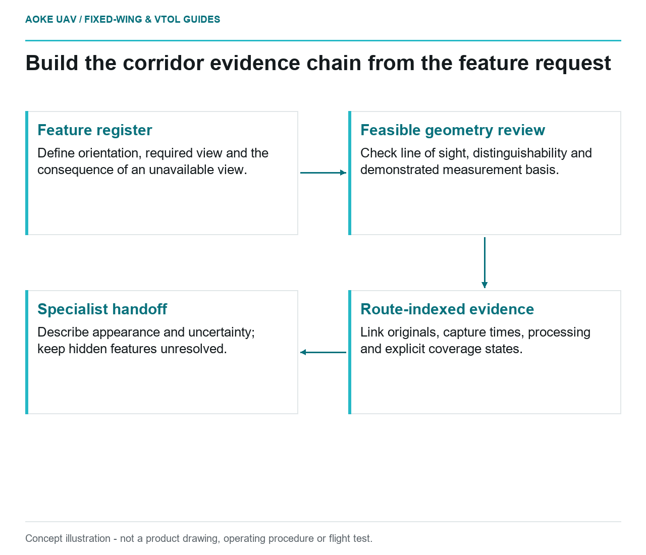
- Feature register: Define orientation, required view and the consequence of an unavailable view.
- Feasible geometry review: Check line of sight, distinguishability and demonstrated measurement basis.
- Route-indexed evidence: Link originals, capture times, processing and explicit coverage states.
- Specialist handoff: Describe appearance and uncertainty; keep hidden features unresolved.